Building Near a Floodplain in Michigan
What A Floodplain Is
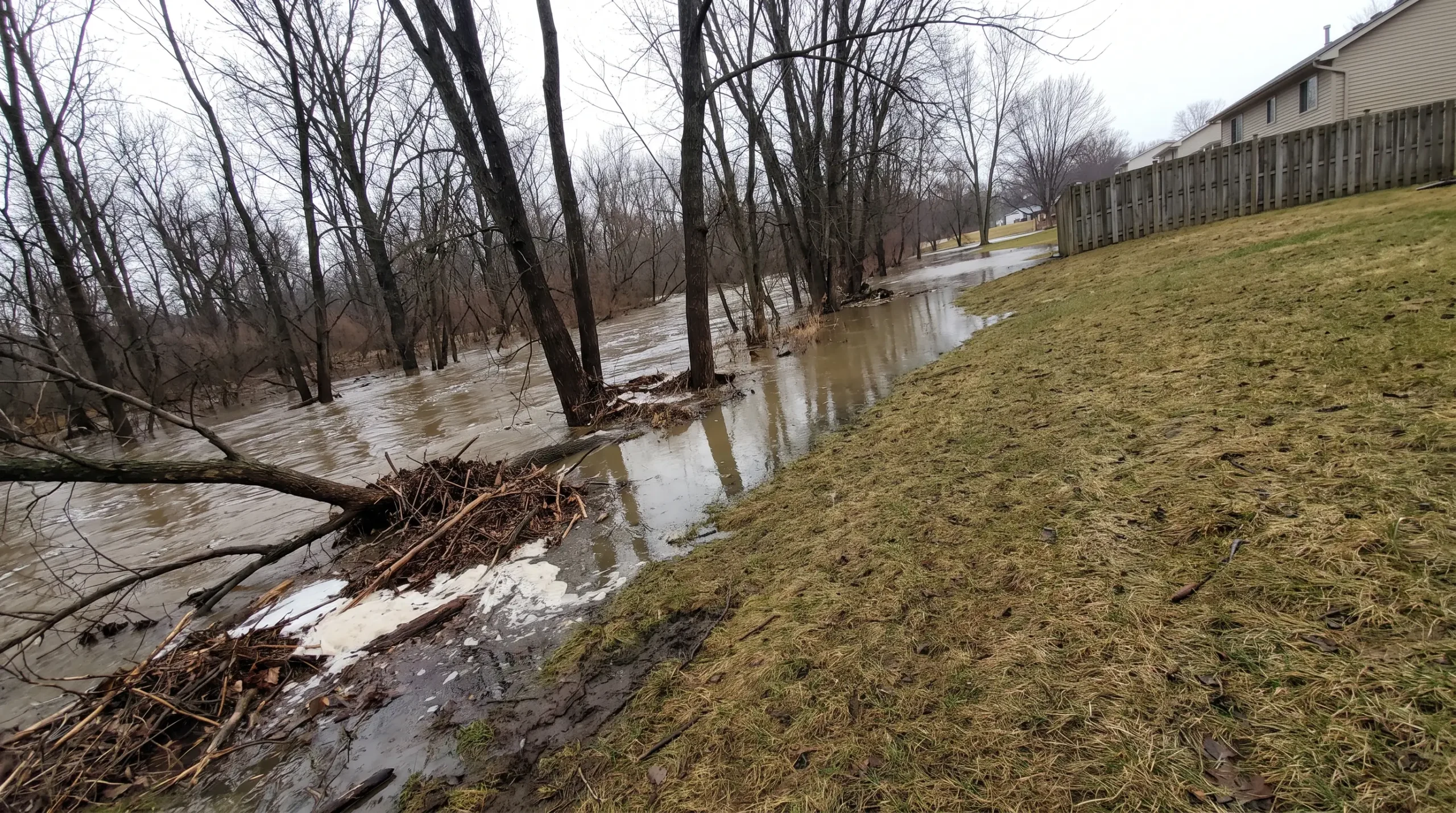
Michigan’s environment department describes a floodplain as the land that water covers when a river, stream, lake or drain overflows its banks. In practice, it says, the word has come to mean the land covered by a flood that has a one percent chance of happening in any year.
The same page estimates that about six percent of Michigan’s land is prone to flooding. The areas are mapped, so whether a lot touches one can be looked up before anything is drawn.
We work alongside your architect or designer. They lead the design. We check the flood maps for your lot at the start, so the home is drawn for the ground it will stand on.
What The State And Towns Publish
Where The Maps Come From
The state’s floodplain page points to the flood maps published by the Federal Emergency Management Agency, and lists a way to ask the state for a flood level at a particular spot. Some towns publish maps of their own as well.
Source: Michigan Department of Environment, Great Lakes, and Energy, Floodplain Management. Checked October 12, 2026.
How High The Home Sits
Some towns write about the height of the home. Novi says the lowest floor of a home in an area that can flood sits above the flood level.
Showing It On The Plan
Other towns ask for flood-prone land to be drawn on the plans. Superior Township lists it among the things an application shows.
Separate Permits And Tighter Rules
Some towns add a step of their own. Grosse Pointe Park‘s code lists a separate permit for an area that can flood. Franklin publishes its own application for building in one. Rochester Hills describes tight controls on building there.
Near A River Or Creek
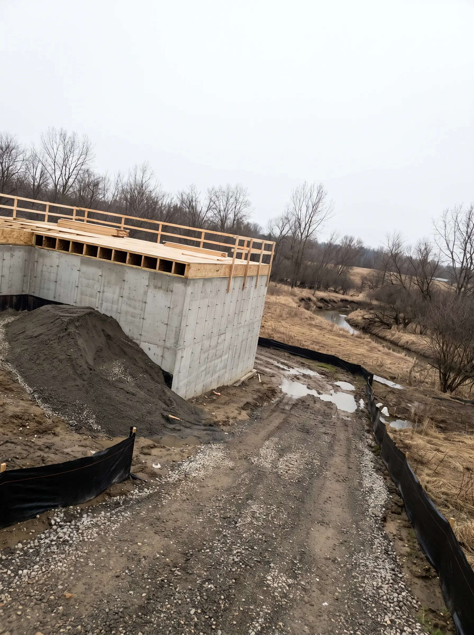
In towns built along a river, it is often the first thing to look at.
We check the maps for your lot, and confirm with the town what applies, before your designer starts.
This page is general information, not legal advice or an official answer. Each town, and the state where it is involved, decides what is allowed on each property, and the maps and rules change.
Questions About Floodplains
What is a floodplain?
Michigan’s environment department describes it as the land that water covers when a river, stream, lake or drain overflows. It says the word has come to mean the land covered by a flood with a one percent chance of happening in any year.
How do I find out if a lot is in a floodplain?
We look up your lot at the start and tell you what we find.
What do towns ask for when a lot is near a floodplain?
It varies by town. We confirm what your town asks for.
Who decides whether a home may be built near a floodplain?
The town decides for each property, and the state is involved in some cases.
Does a creek or a county drain count?
Whether a particular creek or drain affects your lot depends on the maps and on the town.
This is general information, not legal advice or an official answer. Each town, and the state where it is involved, decides what is allowed on each property. Sources: the state page linked above and the official pages linked from each town page. Checked October 12, 2026.
Find Your Town